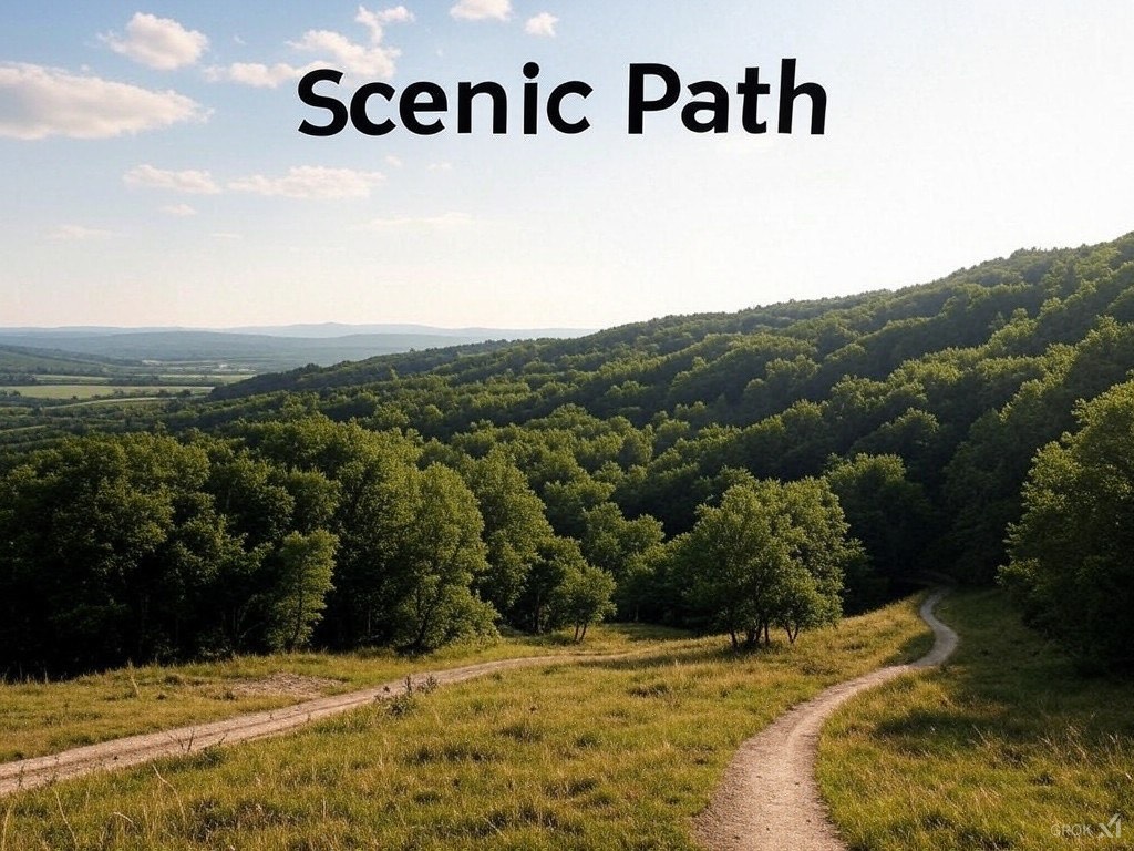
Scenic Path
Unforgettable Drives.
Unforgettable Drives.
.jpg)
As my Final Year Project, I developed Scenic Path — a web application designed to help users discover the most beautiful and memorable driving routes across Ireland.
The application integrates data from OpenStreetMap and the Yelp API to highlight scenic towns, nature trails, restaurants, and hidden gems along your journey. By simply entering start and end locations, users can generate personalized routes and explore rich Points of Interest along the way.
The goal of Scenic Path is to promote local tourism, support small businesses, and enhance road trips with meaningful and scenic stops.
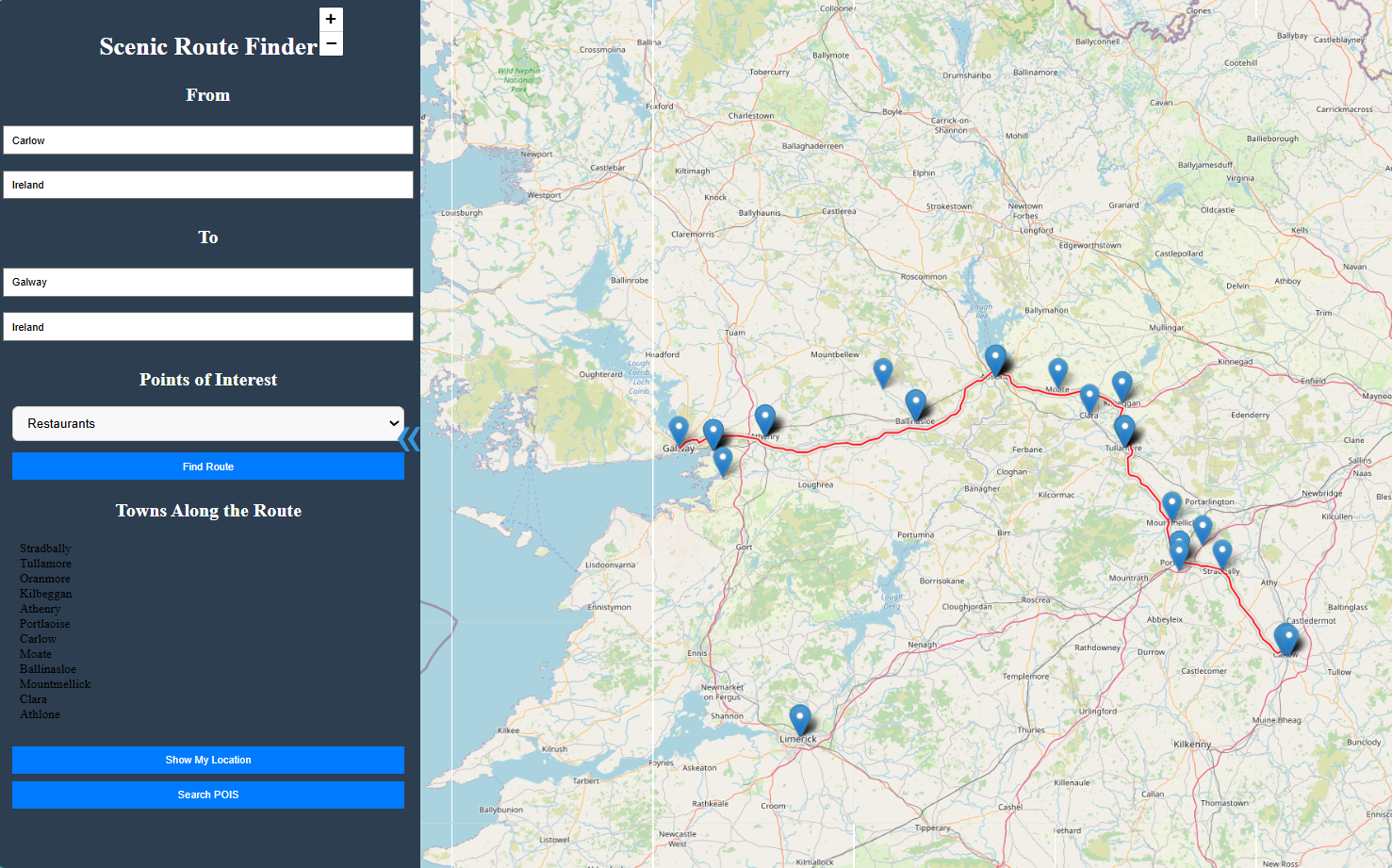
Example of a scenic route with towns, points of interest, and user's current location marked using Leaflet.js and OpenStreetMap.

Lightweight JS library for interactive maps with OSM data.
Collaborative mapping platform powering our route data.

Find points of interest like restaurants and attractions.

Used to run Yelp API and serve POIs to the frontend.

Used to host the backend server that connects frontend to Yelp API.
The foundation of the web app's frontend interface and behavior.

Database used to store user information such as POIs, saved routes, etc.
Lightweight Python web framework used to render the frontend and serve routes dynamically.
Have questions or want to collaborate?
Final Year Project developed under the supervision of Paul Barry.