Zihan Wang · C00280203
Supervisor: Jamal Tauseef · SETU · April 2026
Automated crack & pothole detection with GPS mapping, manual annotation, and secure multi‑user isolation.
87.3% mAP@0.5
8 modules
Flask + YOLOv8
General detection
YOLOv8n, class filter, GPS link
Map overview
Leaflet, markers, Google Maps nav
Manual marking
Canvas rectangles, save per image
Upload & detect
Crack/pothole inference, auto‑save
Camera capture
Mobile/laptop, EXIF GPS
History & filter
Separate crack/pothole, delete, edit
Settings
Dark/light mode, change password
Auth & security
CSRF, brute‑force, user isolation
Interface preview
📸 Screenshots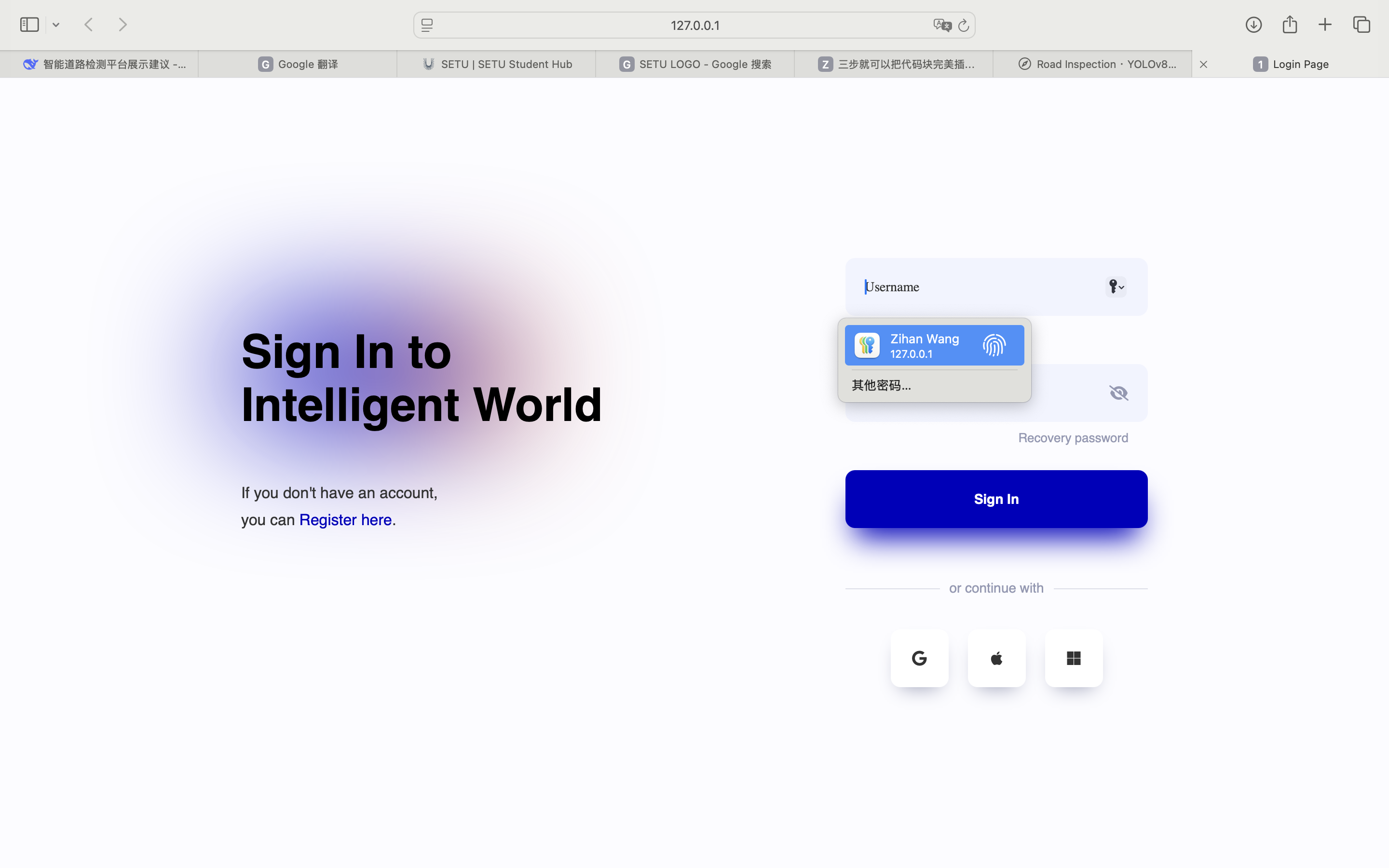
🔐 Authentication
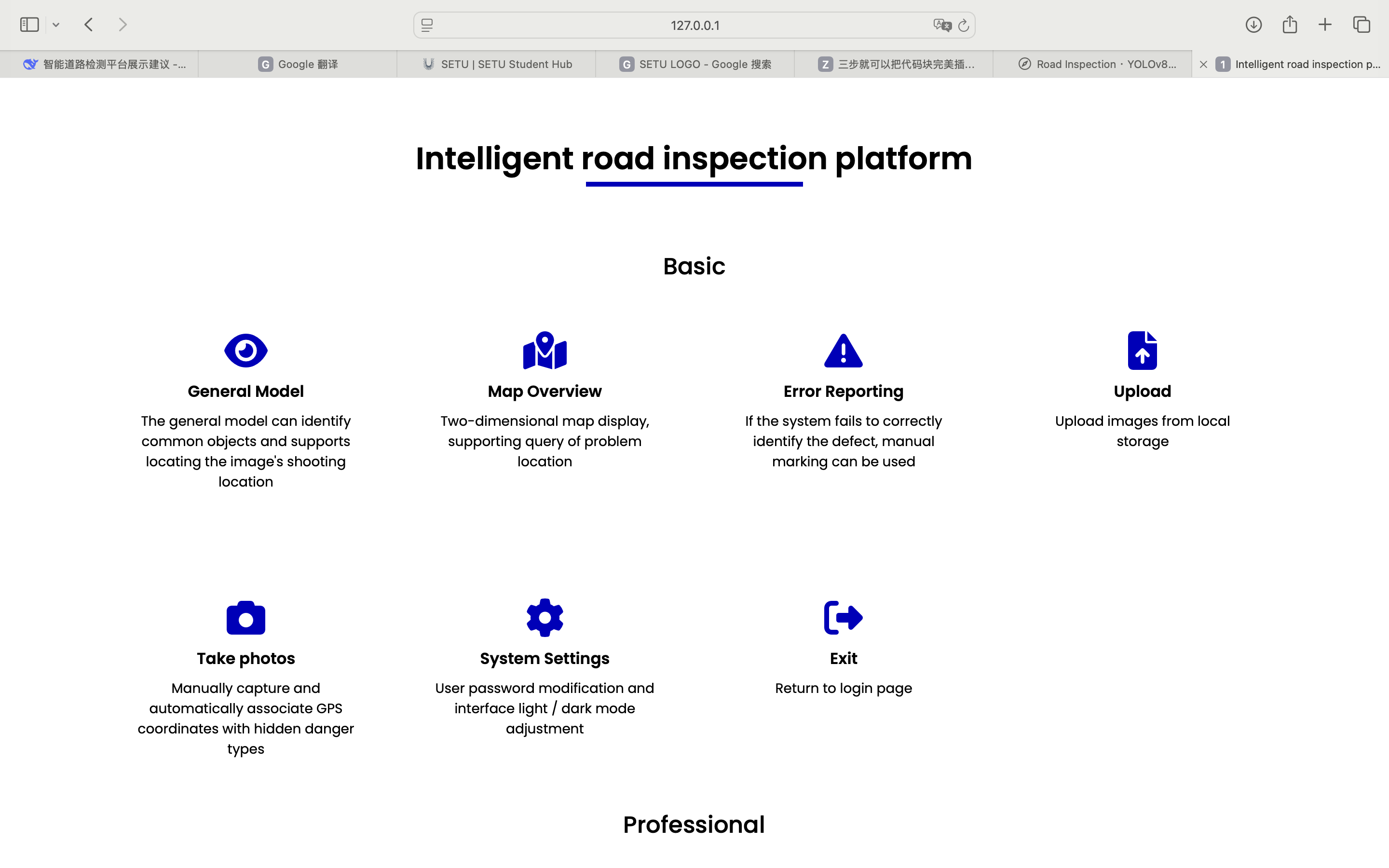
🏠 home page
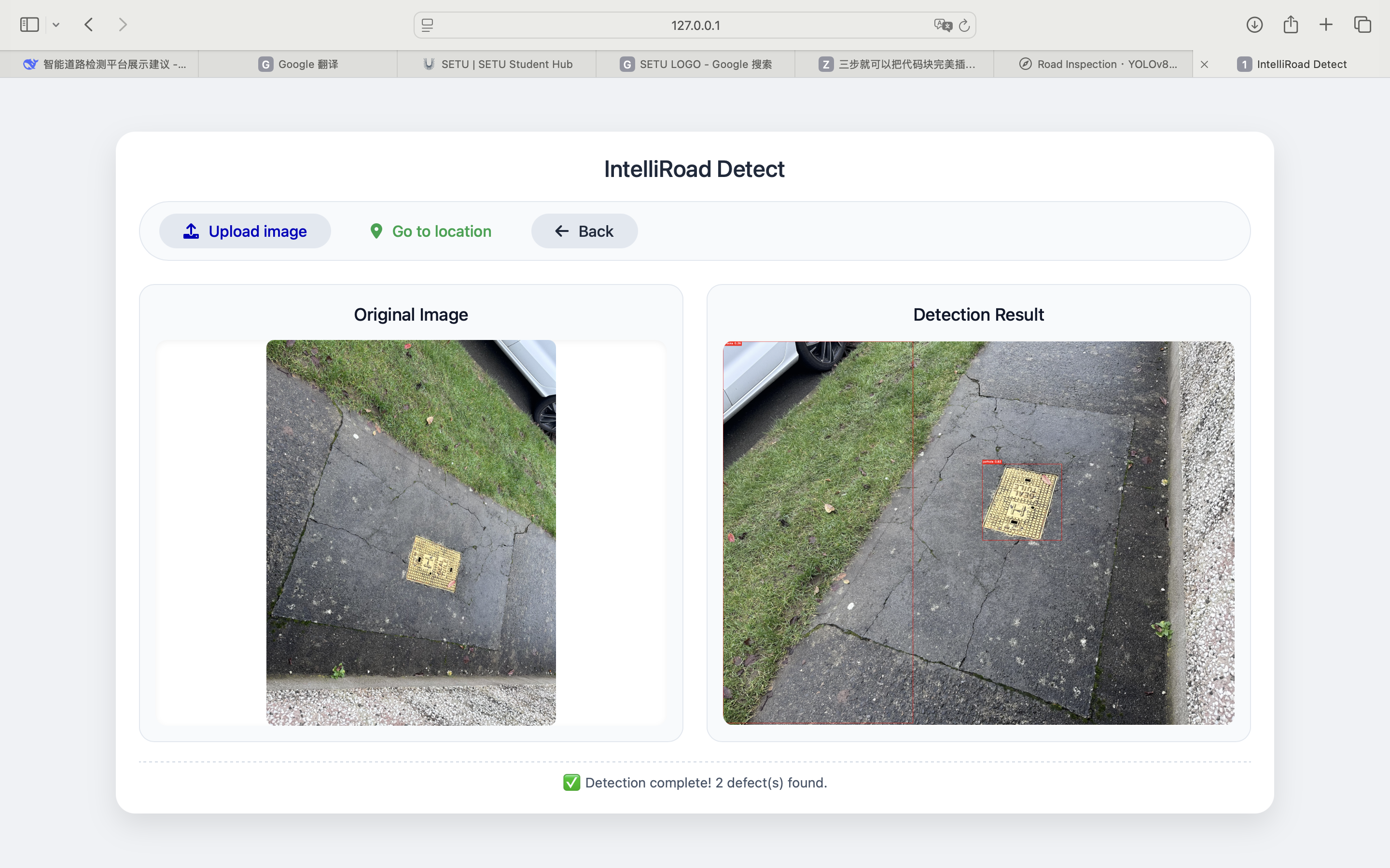
⬆️ bounding boxes
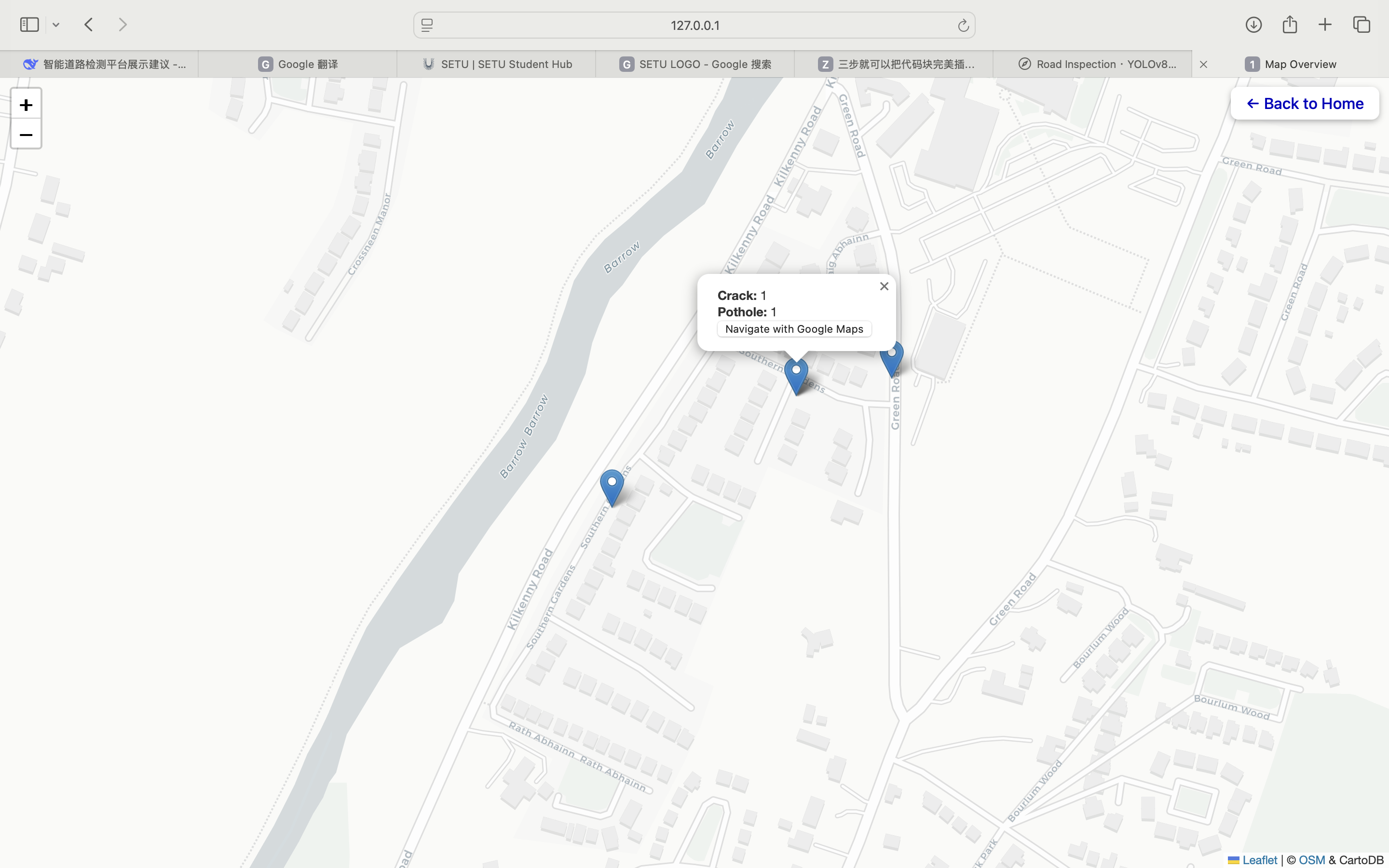
📍 Map overview
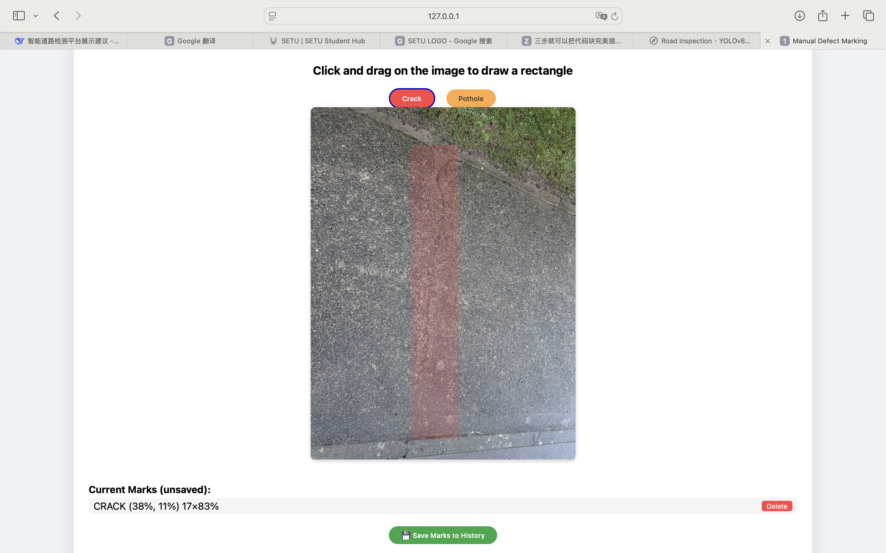
✏️ canvas rectangles
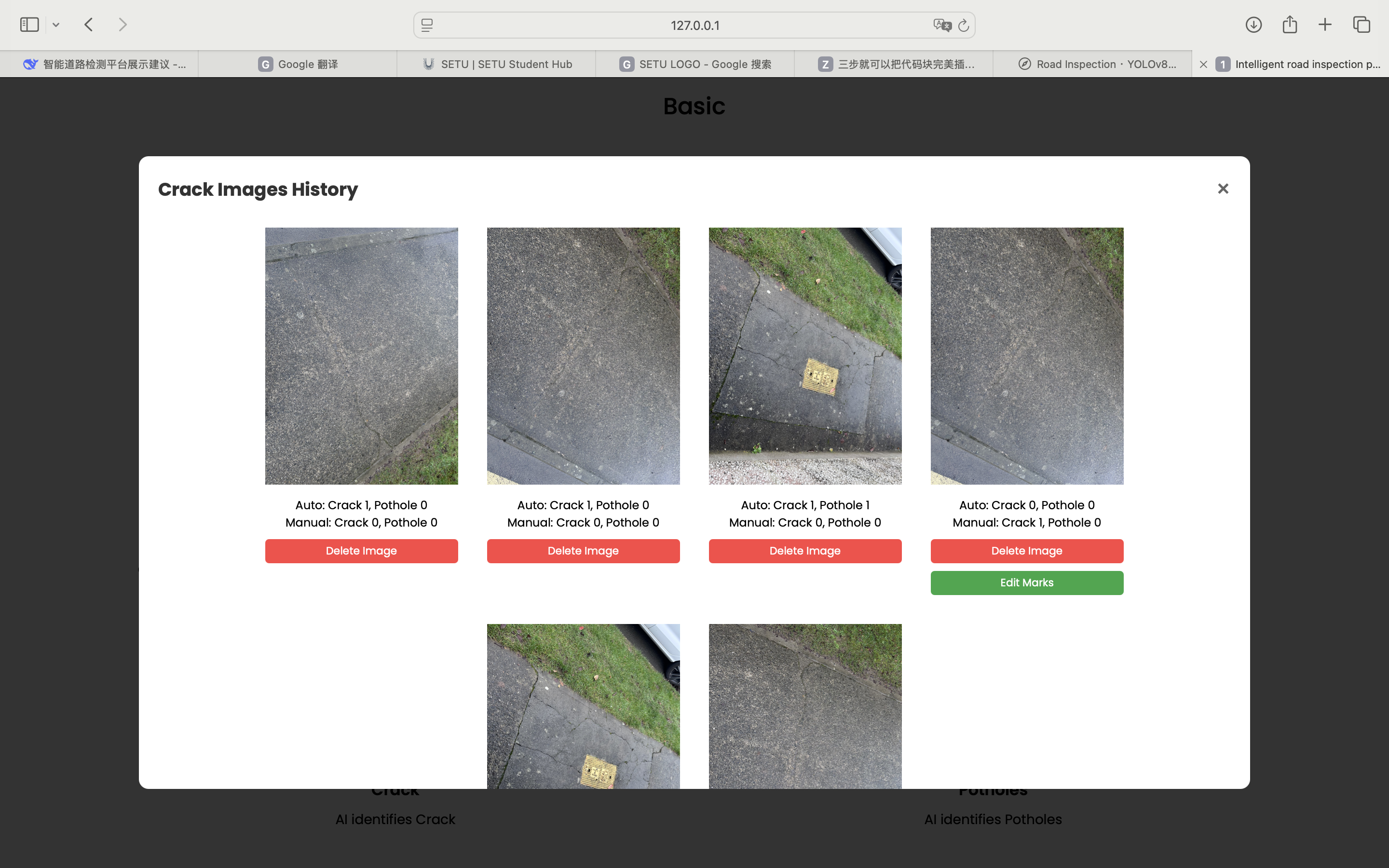
📋 crack/pothole list
Demo walkthrough
Tech stack
FlaskYOLOv8Leaflet
EXIFRJSON storeOAuth demo
Security
CSRF tokenBrute‑force lockFile validation