Interactive IT Carlow Map
The Project
Supervisor: Oisin Cawley
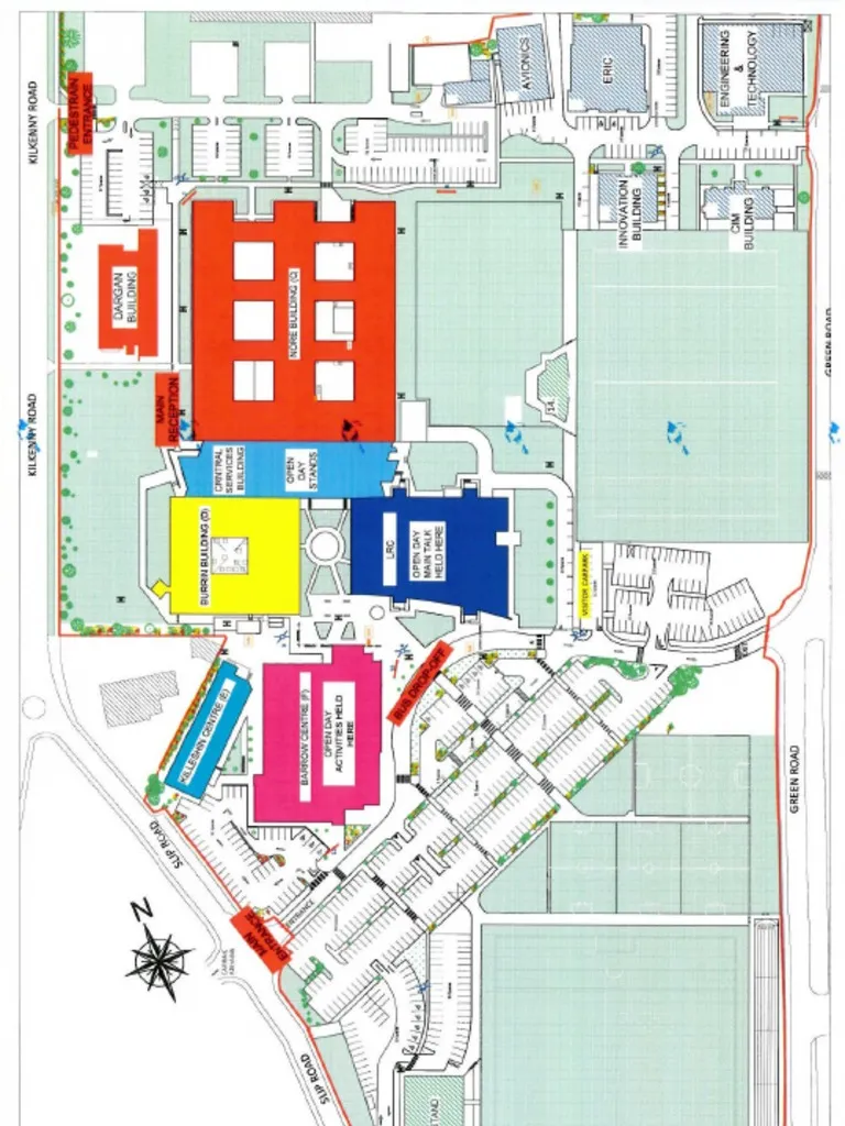
The Institute of Technology Carlow campus can be daunting for new students, especially after spending 2 years learning from home during the Covid-19 pandemic. That combined with the Institute’s continued growth, becoming the ‘Technological University for South-East Ireland’ (TUSEI) makes it clear that newcomers to the campus will need an easy and convenient method to help them find their way around. That is where my project comes in.
The idea for this application was to make a map that will allow staff and students to find classrooms and other points of interest on the college campus easily. It is a lightweight application for smartphones that will allow users to enter their current location (or utilize their phone’s GPS) along with the classroom or point of interest they wish to get to, then let the application plot the shortest route for them to take to get there. They will also be able to view a map of the campus, zoom in on buildings and see the building layouts. Users can also click on rooms to get more information about them, such as what classes usually take place and when.